- Thumbnail
- Resource ID
- c9bee334-9079-11ea-ae3c-06760a0009eb
- Title
- Emerald Sites of North Macedonia
- Date
- Jan. 8, 2020, 9 a.m., Publication
- Abstract
- The geospatial dataset contains spatial and attribute data about the Emerald Network at the national level for the Republic of North Macedonia. National Strategy for Nature Protection of North Macedonia.
- Edition
- --
- Owner
- UKLO_FTU
- Point of Contact
- Purpose
- --
- Maintenance Frequency
- unknown
- Type
- not filled
- Restrictions
- otherRestrictions
- License
- Not Specified
- Language
- eng
- Temporal Extent
- Start
- --
- End
- --
- Supplemental Information
- No information provided
- Data Quality
- Responsible organization is the Ministry of Environment and Physical Planning, North Macedonia.
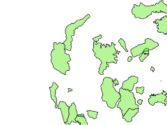
- Extent
-
- long min: 5196402.358300000000000
- long max: 5404893.804600000000000
- lat min: 2040217.282800000000000
- lat max: 2223675.105100000000000
- Spatial Reference System Identifier
- EPSG:3035
- Keywords
- no keywords
- Category
- Environment
- Regions
-
Europe
,
Macedonia